Louisville International Airport and UPS Worldwide Air Hub

Falls of the Ohio and McAlpine Locks and Damn

Cochrane Hill Tunnel at Cherokee Park, Interstate 64

Churchill Downs, Home of The Kentucky Derby

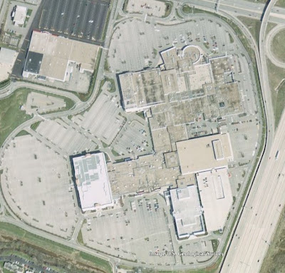
Mall St. Matthews

My Neighborhood

The School I Teach At

Convergence of Interstates 64, 65 and 71

Suburban Sprawl In Eastern Jefferson County

Barges Carrying Coal From the Western Kentucky Strip Mines, Heading Northeast on The Ohio River


2 comments:
Don't you just love Google Earth? I like the fact that I can place a pin to mark where people live and then just zoom there.
It's so damn addictive. I'll get on and suddenly two hours have gone by.
Post a Comment